information
|
Well not quite Penarth, but you get the message ! If you would like to speak with a real person about your Visitor requirements, please try the following : Please tell them you saw them on the VisitPenarth website.
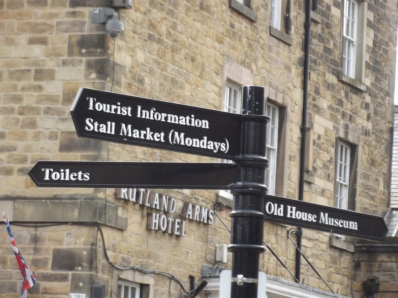
1. This website. Check each page and sub-page for more. 2. Call 01446 704867 between 0830 and 1630 daily Mon. - Fri. Closed Weekends. 3. Visit Penarth Town Council, West House, Stanwell Rd. T. 02920 700721, (large detached house with 5 flags flying outside) between 0830 and 1630 Mondays to Fridays. Closed Weekends. 4. Visit Penarth Public Library, Stanwell Road, T. 02920 708438, with clock tower. Open Weekdays and Saturdays, closed Sundays. 5. Visit Penarth Pier Pavilion between 1000 and 2100 daily. |
WALES COASTAL PATH
The Wales Coastal Path (WCP) passes along the coast through Penarth and onwards to the East. In total over 870 miles from the northern border with England, along the N. Wales coast, south to western Pembrokeshire and then returning eastwards along the South Wales coast towards Penarth, ending once again on the English border at Chepstow.
We recommend a "taster" of this superb World First long distance walk by walking from Swanbridge Bay to Cardiff Bay via Penarth, a distance of around 6 miles.
Park at Swanbridge in the Captain's Wife pub car park (but buy a glass of something first). In front of you is Sully Island once inhabited by Vikings. Turn east and take St. Mary's Well Bay road towards Lavernock, passing a WWII fortification on your left at the brow of the hill. Continue on for 1/2 mile turning into the field on your right to join a path around the edge of the field. Follow on eastwards, noting yet more fortifications from WWII where, it is said, some of the very first rocket propelled missiles were housed in considerable secrecy. Now a peaceful Nature Reserve, you can find wild orchids amongst the dense undergrowth.
Join Fort Road, heading downwards towards the pretty little St. Lawrence Church, where there is a brass plaque commemorating the very first Radio Transmissions in the World across water by Snr. Gugliemo Marconi. The message "Are you ready?" is comemorated as a very historic moment in the birth of radio and subsequently broadcasting. The transmission was from Lavernock Point across to Flat Holm, the smaller of the two islands in front of you a couple of miles or so offshore, and again once inhabited by Vikings.
Continue northwards along the cliff top path for around 1.5 miles, joining the tarmac path at the end of Telegraph Way, and continue past the cafe and miniature golf course (stop for a breather ?) and then downhill towards Penarth's Esplanade, passing the Lifeboat Station and Yacht Club on the way. Now on the level, you pass a couple of restaurants as you reach Penarth Pier and Pavilion. The pier was fully restored in 1985 and the pavilion in 2014, and are the pride of the town. There is free admission to both buildings, and you can enjoy a welcome snack or "cuppa" for a minute or two.
Time to start the uphill climb of over 200 feet (61m.), passing Kymin House once a farm, on your right, and taking a sharp right up steps into Kymin Path and Kymin Terrace, passing a row of fine Victorian terraced houses, once the homes of Master Mariners and ship owners. Now turn right continuing to Penarth Head, and its new observation plinth. This point, over 200 feet above sea level, is the highest for many miles around, and the source of Penarth's name which is popularly translated as "Bear's Head" from the Welsh. From here you can see the Severn Bridge, Weston super Mare, Portishead, Twmbarlwm, and Uskmouth Power Station amongst many other landmarks.
It is now downhill for the last time, as you take the lane and join Clive Place, down down past Headlands School, once a maritime hotel, passing some grand houses on your left and, on the brow of the hill, St. Augustine's Church, a landmark noted on Admiralty Charts for its prominence. The church is well worth a separate visit another day.
Continuing down, following the Mermaid signs, you arrive at El Puerto restaurant and Penarth Marina adjacent to the Cardiff Bay Barrage. Pause a-while for some sustenance and then after a glance at the million of pounds worth of yachts at their moorings, set off over the Barrage Locks, noting the Salmon Pass on your left, and then onto the open and unsheltered barrage constructed of layers of stone and sand. Look for the outer Harbour of Refuge and the concentric yellow circles forming a commissioned work of art by the one time Cardiff Bay Development Corporation who were responsible for the regeneration of this area some 5 miles or so wide.
Now on the Home Run, you leave the barrage, passing through the commercial Port of Cardiff and pass the Dr. WHO exhibition and World of Boats, then taking a pit stop at the Norwegian Church for coffee and cake, Scandivanian style. Admire the Welsh Assembly (the Senydd), the prominent Re-Insurance building shaped like a ship's prow, the Lightship and the Pier Head building, once at the heart of Cardiff's trading empire as it controlled shipping movements into and out of the port.
We end our walk at the Millenium Centre, shaped like an Armarillo, opened by HM The Queen and home to the Welsh National Opera Coy. and other arts organisations. The Tourist Information Centre on the ground floor will help you with details and times of buses back to Swanbridge to rejoin your own transport onwards.
We hope you enjoyed this fascinating walk.
With thanks to our Sponsors - Penarth Tourism & Visitor Association. [email protected]
